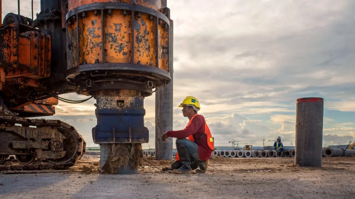
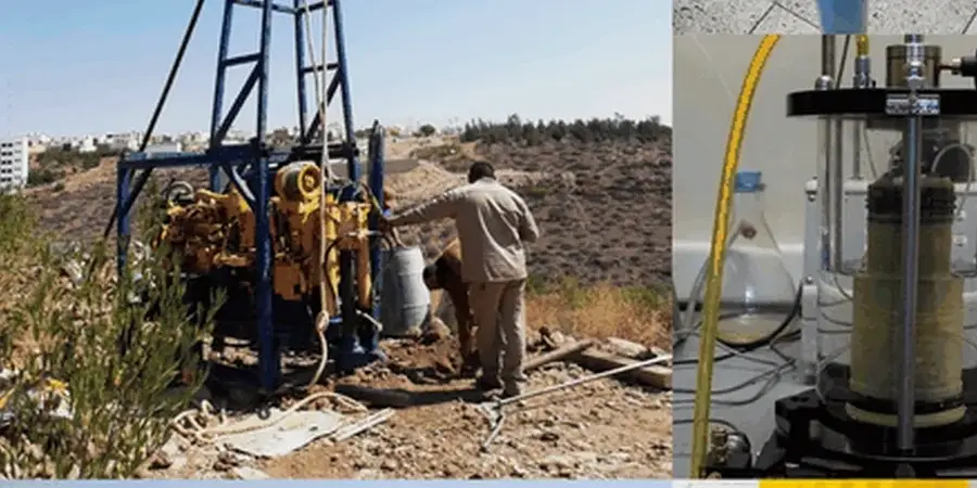
The International Building Code (IBC) and ASCE 7 set clear requirements for slope stability analysis in Oklahoma City, especially where the city's characteristic red clay overlies the Garber-Wellington aquifer. Our experience across Canadian and Cleveland counties shows that slope failures here rarely follow textbook patterns—they're driven by perched water tables after sudden storms. We've evaluated cuts along the North Canadian River and residential developments near Lake Hefner, and the common thread is always the interaction between weathered shale and seasonal moisture cycles. A proper analysis means going beyond limit equilibrium; we integrate subsurface data from test pits to map the actual stratigraphy, and when needed, we correlate findings with a CPT test to profile continuous strength changes in the upper 30 feet. This dual approach catches the soft lenses that a desktop study would miss.
In Oklahoma City, slope stability isn't just about geometry—it's about predicting how the Garber-Wellington aquifer's water table will react to a 25-year storm event.